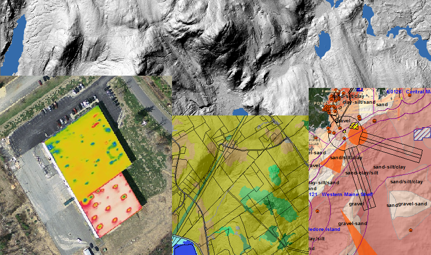
A GIS implementation is ineffective without complete and accurate data. With over 18 years of experience working for some of the worlds largest data providers, CGIS Solutions is uniquely qualified to help you obtain high quality data from the land, sea, or subsurface. We have a comprehensive understanding of data collection techniques, accuracies, the latest in advanced sensor systems, and most importantly we understand the best fit for your intended use and budget. CGIS Solutions offers the following data development services, but not limited to:
To aid in the development of accurate, high resolution data and conformance with new or existing data model needs
For providing accurate locational information for public safety and land records management of local governments
To capture the legal boundaries of properties, and monitor changes in land development and property values for local governments
For providing water, gas, and electric utility entities accurate locational information and manage assets
To answer questions about the real world and provide cartographically rich, high quality finished map production
For detecting, analyzing, and monitoring surface and subsurface features from the air and terrestrially